Property Details
Property Description
Subject property is a 3 BR / 2.00 BA Single family home w/ 0 Car Garage containing 2,268 Sq Ft +/- built in 2001. Parcel number: 493409D091. Minimum Bid $ 183,333.33 . All auction end Wednesdays at 1PM. 5% buyer's premium will apply over and above high bid. Please read terms and conditions for details related to purchasing foreclosure property. Interior showings are not available. To earn a commission, Buyer referrals must be made to Auctioneer before prospective buyers make any contact with Auctioneer or register for bidding. Use link: https://www.gryphonusa.com/broker-acknowledgement-form/ This is a foreclosure situation. Property being offered by Private Selling Officer per the authorities granted in Ohio Revised Code 2329.152 . Information available has come from public sources and is believed to be accurate but is not guaranteed. Buyers should conduct their own due diligence before bidding. List Agent has not physically viewed the property. Due to the nature of the sale, interior inspections are not allowed. Cash sale only. No financing.
Legal Description
Parcel 493409D091. TL69-16 Situate in the Township of Wayne, County of Clermont, State of Ohio and being a part of Currie's Military Survey No. 3338 of the Virginia Military District and being more particularly described as follows: Beginning at an existing mag nail at the intersection of the south line of Currie Military Survey No. 3338 and the centerline of State Route No. 727, corner to Ronald Lee Daye and Barbara Daye; thence with the line of Daye N. 82 deg. 40' 19" W. a distance of 285.32' to an existing iron pin, corner to Cecil and Karen Griffen; thence with the line of Griffen N. 33 deg. 47' 57" E, a distance of 102.00' to a set iron pin and the Real Point of Beginning for this Description; Thence along a severance line the following two (2) courses and distances; 1) N. 67 deg. 22' 07" W, a distance of 329.14' to a set iron pin; 2) N. 66 deg. 54'21" W. a distance of 677.10' to an iron pin set in the line of Griffen; Thence with the line of Griffen N. 8 deg. 49' 11" E, a distance of 139.60' to an existing iron pin in the line of Lot 33 of Shiloh Meadow Subdivision (P.C.3 Pg. 786); Thence with the line of Shiloh Meadow Subdivision the following two (2) courses and distances: 1)S. 82 deg. 34'27" E, a distance of 781.40' to an existing iron pin, corner to Lot 31 of said subdivision: 2) S. 49 deg. 15' 47" E, a distance of 240.54' to an existing iron pin, corner to Griffen; Thence with the line of Griffen the following three (3) courses and distances; 1) S. 40 deg. 44'13" W, a distance of 117.31' loan existing iron pin, corner to Griffen; 2) S. 49 deg. 15'47" E. a distance of 123.40' to an existing iron pin, corner to Griffen; 3) S. 33 deg. 47' 57" W, a distance of 123.72' to the Real Point of Beginning. Contains 5.9012 acres, subject to legal highways, easements and restrictions of record. Subject to and together with a 50' wide easement for ingress, egress and utility purposes as described in Volume 1275, Page 1346 of the Official Records of the Clermont County Recorder's Office. Being a part of the real estate conveyed to Cecil and Karen Griffin as recorded in Volume 1448 Page 1100 of the Official Records of the Clermont County Recorder?s Office. Being a part of Parcel Identification Number 493409D091. Being the result of a survey made by Gary P. Nichols. Ohio Registered Surveyor Number 6657, dated April 9, 2002.
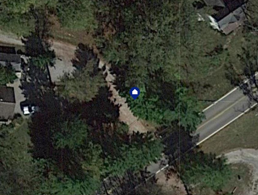
Location
Foreclosure Details
Click the link to review the Conditions of Sale for this auction.
Conditions of SaleAuction By
