Property Details
Property Description
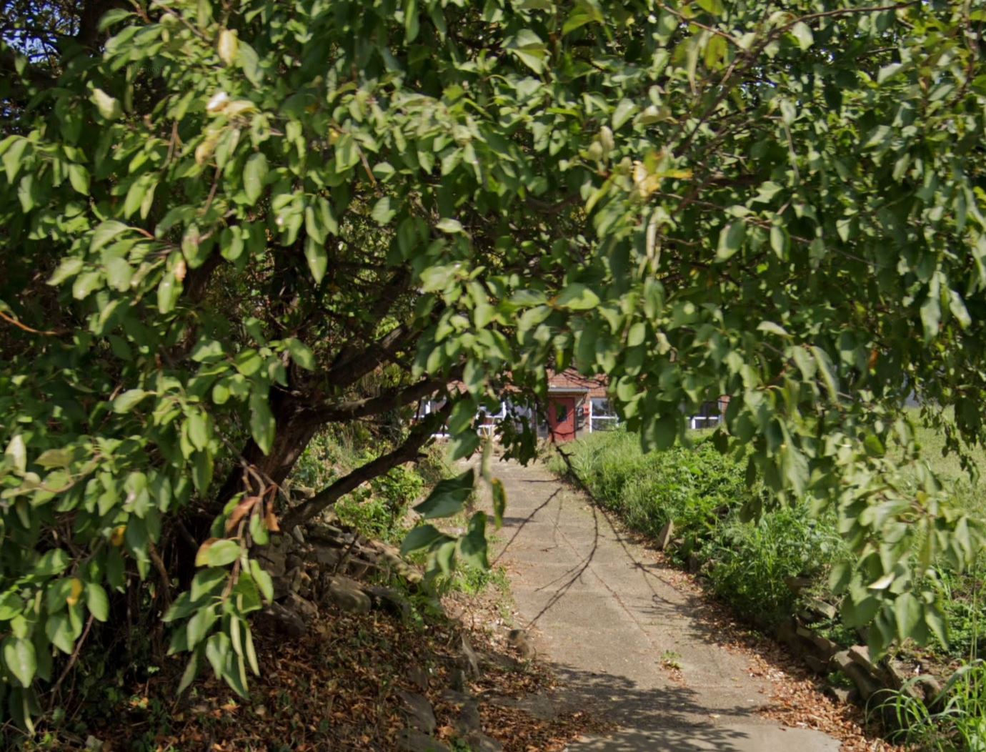
Subject property is a 6 BR / 4.00 BA Single Family Home w/ 1 Car Garage, containing 2,544 Sq Ft +/- built in 1955. Parcel number: 31-1659.001. Minimum Bid $ 16,000.00 . All auction end Wednesdays at 1PM. 5% buyer's premium will apply over and above high bid. Please read terms and conditions for details related to purchasing foreclosure property. Interior showings are not available. To earn a commission, Buyer referrals must be made to Auctioneer before prospective buyers make any contact with Auctioneer or register for bidding. Use link: https://www.gryphonusa.com/broker-acknowledgement-form/ This is a foreclosure situation. Property being offered by Private Selling Officer per the authorities granted in Ohio Revised Code 2329.152 . Information available has come from public sources and is believed to be accurate but is not guaranteed. Buyers should conduct their own due diligence before bidding. List Agent has not physically viewed the property. Due to the nature of the sale, interior inspections are not allowed. Cash sale only. No financing.
Legal Description
Situate in Fractional Section 8, Township 1 North, Range 21 West, City of Portsmouth, County of Scioto, State of Ohio, and being a part of the First and Second tracts of the Richard H. and Phyllis Bellomy as recorded In deed book 773, page 601, of the Scioto County Recorders Office, also, being a split of Auditor parcel number 31-1659.00, and being more described as followed: Commencing, for reference, at a stone 2 inches by 6 inches, referenced by a 1 inch rod to the east, found at the northwest corner of Lot Number 18 of the Upper Arlington Addition as recorded in plat book 4, page 107, of the County Recorders Office and at the southeast corner of the Fifth tract of said Richard H. and Phyllis Bellomy, also, being in the east right-of-way of Scioto Trail, 50 feet right-of-way: Thence, North 01 degree 33 minutes 08 minutes East for a distance of 76.61 feet, leaving said Addition and with said right-of-way and the west lines of said First and Fifth tracts, to an 5/8 inch rebar, 30 inches long, with cap set at the true Point of Beginning; Thence, leaving said right-of-way and with new division lines through said Richard H. and Phyllis Bellomy First and Second tracts the following four (4) courses: 1. South 86 degrees 59 minutes 03 seconds East for a distance of 134.09 feet, along the north edge of a concrete sidewalk to a 5/8 inch rebar, 30 inches long, with cap set at the northwest corner of concrete sidewalks; 2. South 03 degrees 27 minutes 33 seconds West for a distance of 13.67 feet, to a 5/8 inch rebar, 30 inches long, with cap set at the southeast corner of concrete sidewalks; 3. South 86 degrees 07 minutes 13 seconds East for a distance of 82.91 feet, to a 5/8 inch rebar, 30 inches long, with cap set at the east edge of a concrete sidewalk; 4. North 03 degrees 33 minutes 33 seconds East for a distance of 58.96 feet, along the east edge of a concrete sidewalk, to a ?+? scribed in concrete in the north line of said Second tract and in the south line of the Carl M. Compton tract one as recorded in Deed Book 969, Page 110, of the County Recorders Office, from said scribed "+" a scribed "+" set in concrete at the northeast corner of said Second tract and the northwest corner of the Fourth tract of aforesaid Richard H. and Phyllis Bellomy tract bears South 88 degrees 20 minutes 00 second East for a distance of 21.50 feet also, a 1 inch iron rod, referenced by a railroad rail to the east, found at the northeast corner of said Fourth tract and in the west line of Ritchie Street, 50 feet right-of-way, bears South 88 degrees 20 minutes 00 second East for a distance of 121.50 feet; Thence, North 88 degrees 20 minutes 00 seconds West for a distance of 218.50 feet, with the south lines of said Carl M. Compton tract one, the south line of the Thomas E. Grashel tract III, as recorded Deed Book 970, Page 075, of the County Recorders Office, and with the north line of said Second tract and passing a a found 1 inch iron rod bent to the west at a distance of 217.50, to a 5/8 inch rebar, 30 inches long, with cap set at the northwest corner of said Second tract and the southwest corner of the said Thomas E. Grashel tract, said rebar, also, being in the aforesaid east right-of-way of Scioto Trail; Thence, South 01 degree 33 minutes 08 seconds West for a distance of 38.90 feet, with said east right-of-way and the west lines of said Second and First tract, to the point of beginning and containing 0.234 Acre., more or less. Of which 0.151 acre is out of the First tract and 0.083 acre is out of the Second tract. Easement for ingress and egress being 16.5 feet wide over the Second and Fourth tracts of Richard H. and Phyllis Bellomy extending from the west line of Ritchie Street to the east line of the above described tract. The basis of the bearings shown is the record bearing of the north line of the Second tract per deed book 773, page 301, of the Scioto County Recorders Office. The above description was prepared under the direct supervision of Charles R. Miller, Ohio Registered Land Surveyor, Number 6977, in August of 2005 as shown on a plat of survey, CRM Land Surveying, LTD, drawing number 050729, attached hereto and made a part of this description.
Location
Foreclosure Details
Click the link to review the Conditions of Sale for this auction.
Conditions of SaleAuction By
