Property Details
Property Description
3 BR / 1 BA Single Family Home w/ containing 1,152 Sq Ft +/- built in 1,973. Appraised $ 15,000.00 2/3 Min bid $ 10,000.00. Property must sell for 2/3 of appraised value. --- Online Only Offering with bids ending mid-day. See auction details for exact time. 5% buyers premium will apply over and above high bid. Please read terms and conditions for details related to purchasing foreclosure property. Brokers welcome. Contact PSO for broker registration and co-op-info. Interior showings are not available. *** Info available has come from public sources. Auctioneer has not been granted access to the to the property.
Legal Description
Situated in the Township of Monroe, County of Coshocton and State of Ohio: Situated in the Northeast Quarter of the Southeast Quarter of Section 8, Township 7N, Range 8W, Monroe Township, Coshocton County, Ohio and being part of the lands of Levi J. and Kathleen L. Wengerd (Deed Volume 337, Page 159) and further bounded and described as follows: Commencing at the Southwest Corner of the Northeast Quarter of the Southeast Quarter of Section 8, Monroe Township; Thence N. 3? 46' 00" E, along the half Quarter Section line a distance of 597.72 ft to a point in County Road 19; Thence N. 74? 49'10" E, with County Road 19 a distance of 23.23 ft to a nail found; Thence N. 4? 09' 03" E, with Township Road 326 and along the West line of the lands of Levi J. and Kathleen L. Wengard (Deed Volume 337, Page 159) and the East line of Richard A. Bishop (Deed Volume) 291, Page 437) a distance of 280.13 ft to a point and the true Place of Beginning: Thence continuing N. 4? 09' 03" E, with Township Road 326 and along the Grantors West line and the East line of the Bishop lands a distance of 182.58 ft to a point; Thence S. 79? 47' 34" E, along the Grantors North line and the line if the lands of John W. and Mildred M. Cutlip (Deed Volume 307, Page 313) and passing a rebar and cap set at 8.00 ft a total distance of 88.66 ft to a 1 inch pipe found; Thence S. 44? 00' 15" E, along the Grantors line and the line of the Cutlip lands a distance of 124.44 ft to an 8 inch oak tree and the corner; Thence S. 33? 08' 09" E, along the Grantors line and the line of the Cutlip lands a distance of 112.78 ft to a 1 inch iron pipe found; Thence N. 85? 57' 30" W, a distance of 249.19 ft to a point in Township Road 326 Witnessed by a rebar and cap set 32.53 ft East on line and said point being the true Place of Beginning containing 0.710 acres, more or less, but subject to ail legal highways, easements or restrictions, If any, of record. Survey and description prepared by Ronald G. Rudolph, Registered Surveyor #6449, September 26, 1983.
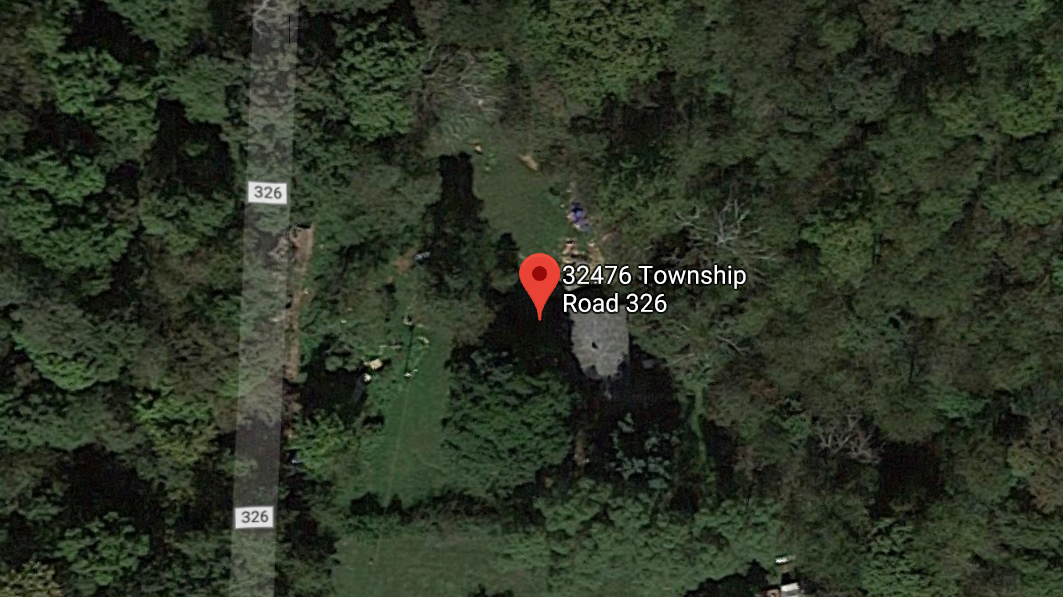
Location
Foreclosure Details
Click the link to review the Conditions of Sale for this auction.
Conditions of SaleAuction By
