Property Details
Property Description
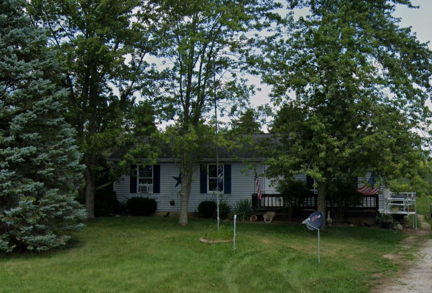
Subject property is a 3 BR / 1.00 BA Single Family Home w/ No Garage, containing 1,056 Sq Ft +/- built in 1988. Parcel number: 260080000404. Minimum Bid $ 43,333.33 . All auction end Wednesdays at 1PM. 5% buyer's premium will apply over and above high bid. Please read terms and conditions for details related to purchasing foreclosure property. Interior showings are not available. To earn a commission, Buyer referrals must be made to Auctioneer before prospective buyers make any contact with Auctioneer or register for bidding. Use link: https://www.gryphonusa.com/broker-acknowledgement-form/ This is a foreclosure situation. Property being offered by Private Selling Officer per the authorities granted in Ohio Revised Code 2329.152 . Information available has come from public sources and is believed to be accurate but is not guaranteed. Buyers should conduct their own due diligence before bidding. List Agent has not physically viewed the property. Due to the nature of the sale, interior inspections are not allowed. Cash sale only. No financing.
Legal Description
Situated in the Township of Prospect, County of Marion and State of Ohio: Being in part of M. Clark Survey No. 675 in the Virginia Military Lands, and being part of a 50.000 Acre tract of land now or formerly owned by Arthur H. Gruber, O.R. 71, Page 121, Prospect Township, Marion County, State of Ohio and being more particularly described as follows: Commencing at an existing railroad spike found at the intersection of the centerline of Township Road 71-A (Prospect-Marysville Road) with the centerline of State Route 47 (Prospect-Mt. Vernon Road W.); thence along the centerline of State Route 47 North 88 degrees, 29 minutes, 35 seconds West for a distance of 1134.10 feet to a survey nail found at State Highway Station 35 + 00 and angle point; thence continuing along said centerline North 88 degrees, 36 minutes, 05 seconds West for a distance of 770.00 feet to a large survey nail and flasher set and the point of beginning; thence continuing along the centerline of State Route 47 North 88 degrees, 36 minutes, 05 seconds West for a distance of 125.00 feet to a large survey nail and flasher set; thence North 09 degrees, 56 minutes, 35 seconds East for a distance of 252.81 feet to an iron pin set (passing over an iron pin set at a distance of 30.35 feet); thence South 88 degrees, 36 minutes, 05 seconds East for a distance of 125.00 feet to an iron pin set; thence South 09 degrees, 56 minutes, 35 seconds West for a distance of 252.81 feet to a large survey nail and flasher set on the centerline of State Route 47 passing over an iron pin set at a distance of 222.46 feet and the place of beginning. Containing 0.717 Acre, more or less, and subject to legal highways, easements, restrictions, and agreements of record. This description prepared from a survey performed by Steven A. Fox, Registered Professional Surveyor 7000, and dated April 14, 1987. All 5/8 inch dia. iron pins set have a plastic identity cap with the inscription "FOX P.S. 7000." Also: A non-exclusive drainage easement 20 feet wide (North and South), lying partially on the above Tract and next to its North line, running East from the West line of the above described property to an 8 inch clay field tile located on the lands owned by Arthur H. Gruber and Mary M. Gruber at the time this easement was created. Subject to the following: Exceptions, conditions and restrictions of record, easements, zoning ordinances, if any, and assessment not yet due and payable.
Location
Foreclosure Details
Click the link to review the Conditions of Sale for this auction.
Conditions of SaleAuction By
