Property Details
Property Description
Subject property is a 2 BR / 1.50 BA Single Family Home w/ , containing 1,606 Sq Ft +/- built in 1920. Parcel number: 620-430-01-006-000. Minimum Bid $ 114,000.00 . All auction end Wednesdays at 1PM. 5% buyer's premium will apply over and above high bid. Please read terms and conditions for details related to purchasing foreclosure property. Interior showings are not available. To earn a commission, Buyer referrals must be made to Auctioneer before prospective buyers make any contact with Auctioneer or register for bidding. Use link: https://www.gryphonusa.com/broker-acknowledgement-form/ This is a foreclosure situation. Property being offered by Private Selling Officer per the authorities granted in Ohio Revised Code 2329.152 . Information available has come from public sources and is believed to be accurate but is not guaranteed. Buyers should conduct their own due diligence before bidding. List Agent has not physically viewed the property. Due to the nature of the sale, interior inspections are not allowed. Cash sale only. No financing.
Legal Description
Situated in the Township of Radnor in the County of Delaware in the State of Ohio Being part of Lot 5, Third Tier, Section 4, Township 6 North, Range 20 West, United States Military Lands, and being part of a 3.76 acre tract of land, now or formerly owned by William E. & Jeanette U. Jones, Deed Vol. 507, Page 43, Radnor Township, Delaware County, State of Ohio and being more particularly described as follows: Commencing at an existing railroad spike located at the intersection of the centerline of County Road 208 (Thomas Rd.) with the centerline of County Road 198 (Radnor Rd.); Thence along the centerline of County Road 198 North 84 deg. 01 min. 33 sec. West for a distance of 314.08 feet to a survey nail found at the Southeast corner of hereinafter described 1.314 acre tract and the point of beginning. Thence continuing along said centerline North 84 deg. 01 min. 33 sec. West for a distance of 223.11 feet to a survey nail set; Thence along the East line of a 0.53 acre tract of land, now or formerly owned by James L. & Shirley Newell, Deed Vol. 400, Page 532 North 03 deg. 57 min. 03 sec. East for a distance of 268.95 feet to an iron pin set at the Northeast corner of said 0.53 acre tract (passing over an iron pin set at a distance of 30.00 feet); Thence along the North line of said 0.53 acre tract North 84 deg. 01 min 33 sec. West for a distance of 54.81 feet to an iron pin set; Thence North 03 deg. 57 min. 03 sec. East for a distance of 203.28 feet to an iron pin set on the approximate centerline of an open ditch (passing over an iron pin set at a distance of 100.00 feet); Thence along said approximate centerline of ditch South 28 deg. 32 min. 59 sec. East for a distance of 518.46 feet to a 5/8 inch dia. iron pin found; Thence South 05 deg. 00 min. 53 sec. West for a distance of 44.79 feet to a survey nail found on the centerline of County Road 198 and the place of beginning. Containing 1.314 acres, more or less, and subject to legal highways, easements, restrictions and agreements of record. This description prepared from a survey performed by Steven A. Fox, Registered Professional Surveyor 7000, and dated April 13, 1989. All 5/8 inch dia. iron pins set have a plastic identity cap with the inscription “Fox P.S. 7000.” Subject to a 50 f. wide drainage easement, said easement being 25 ft. on either side of above described open ditch.
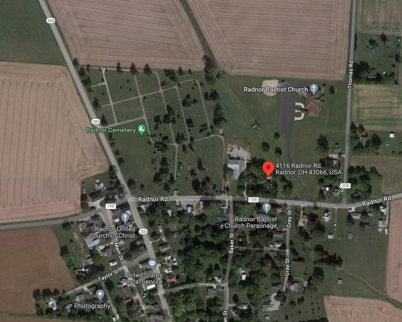
Location
Foreclosure Details
Click the link to review the Conditions of Sale for this auction.
Conditions of SaleAuction By
