Property Details
Property Description
3 BR / 2.5 BA Single Family Home w/ 3 Car Garage containing 2,543 Sq Ft +/- built in 1975. Appraised $ 195,000.00 2/3 Min bid $ 130,000.00. Property must sell for 2/3 of appraised value. --- Online Only Offering with bids ending mid-day. See auction details for exact time. 5% buyers premium will apply over and above high bid. Please read terms and conditions for details related to purchasing foreclosure property. Brokers welcome. Contact PSO for broker registration and co-op-info. Interior showings are not available. *** Info available has come from public sources. Auctioneer has not been granted access to the to the property.
Legal Description
Situated in the State of Ohio, County of Licking and in the Township of Harrison: Parcel 1: Being a part of Lots 2 and 12 in the First Quarter of Township 1, Range 14, U.S. Military Lands and being more particularly bounded and described as follows: Beginning at the intersection of the west line of Lot 2 in the First Quarter of Harrison Township with the southerly right of way line of State Route 16 as surveyed in 1950 and recorded in Plat Book 5, page 88, Licking County Plat Records, said point being located opposite Sta. 568 plus 34.59; thence North 59 degrees 30' East along said right of way line 14.1 feet to a concrete monument; thence continuing North 59 degrees 30' East 135.9 feet to an iron pin at the northeast corner of a lot previously conveyed by this grantor to Dale Mowrey by deed dated April 13, 1961 and recorded in Volume 541, Page 175, Licking County deed records, sad iron pin marking the place of beginning of the herein described parcel to be conveyed; thence South 2 degrees 46' West along the east line of said Mowrey lot a distance of 600.0 feet to an iron pin at the southeast corner of said lot; thence South 59 degrees 30' West along the South line of said Lot 15.0 feet to an iron pin; thence South 2 degrees 46' West along the West line of lots numbered 2 and 12 a distance of 400.08 feet to an iron pin; thence North 57 degrees 33' East along an existing fence a distance of 276.32 feet to a post in the south line of Lot 2; thence South 89 degrees 01' East along the south line of said Lot 2 a distance of 25.09 feet to an iron pin; thence North 2 degrees 46' East 1004.55 feet to an iron pin in the Southerly right of way line of State Route 16; thence South 59 degrees 30' West along said right of way line 150.0 feet to the place of beginning, containing 4.000 acres, more or less. Except that parcel of land conveyed to Allen T. Pitcock and Phyllis A. Pitcock, husband and wife to Robert W. Keays by deed dated February 16, 1965 and recorded in Volume 589, Page 517 of the deed records of Licking County, and more fully described as follows: Being a part of Lots 2 and 12 in the First Quarter of Township 1, Range 14. Beginning at an iron pin in the Southwest corner of land of Allen T. Pitcock and Phyllis A. Pitcock, as described in deed as recorded in Volume 562, Page 69, Licking County Recorder's Office; thence North 57 degrees 33' East 276.33 feet to an iron pin; thence South 89 degrees 1' East 25.09 feet to an iron pin; thence North 2 degrees 46' East 394.70 feet to an iron pin; thence South 58 degrees 38' West 61.05 feet to an iron pin; thence South 65 degrees 53' West 84.05 feet to an iron pin also being the southeast corner of real estate of Dale M. and Mary L. Mowrey, Volume 541, Page 175; thence South 58 degrees 30' West along the south line of said real estate 150 feet to an iron pin in the west line of Lot No. 2; thence South 2 degrees 46' West along said west line of Lot 2 and Lot No. 12, 400.08 feet to the place of beginning, containing 2.28 acres, Leaving 1.72 acres more or less after exception. Parcel 2: Being in the First Quarter, First Township, Range 14, Part of Lot 2: Beginning at an iron pin at the Northeast corner of lands of Allen T. Pitcock and Phyllis A. Pitcock as described in deed as recorded in Volume 562, Page 69, Licking County Recorder's Office, also being in the south right of way of State Route No. 16; thence South 2 degrees 46' West along said line of Pitcock property 609.85 feet to an iron pin; thence North 58 degrees 38' East 79.9 feet to an iron pin; thence North 3 degrees 56' West 569 feet to the place of beginning, containing .47 acres, more or less.
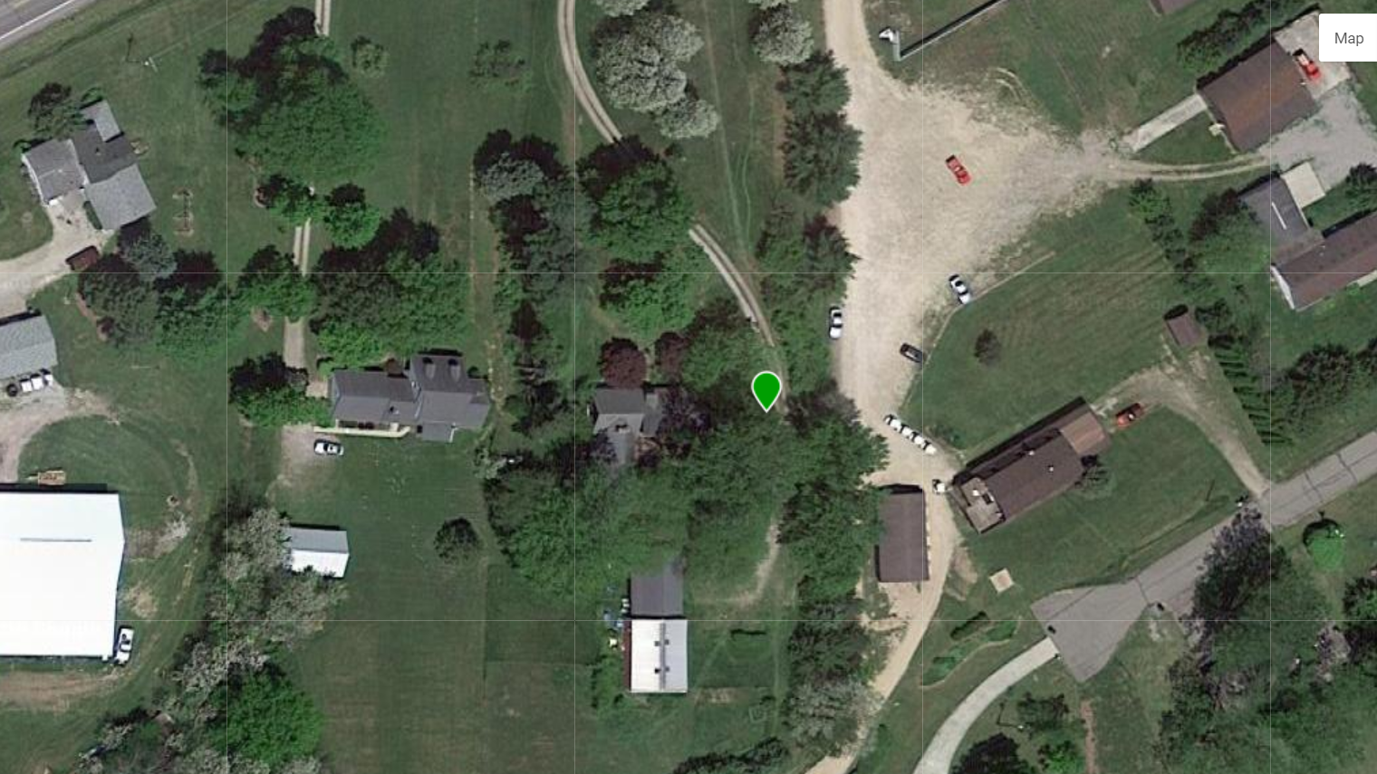
Location
Foreclosure Details
Click the link to review the Conditions of Sale for this auction.
Conditions of SaleAuction By
