Property Details
Property Description
Property will be sold subject to a Mineral Deed and this lien/deed will not be released/wiped out through the foreclosure process.
Legal Description
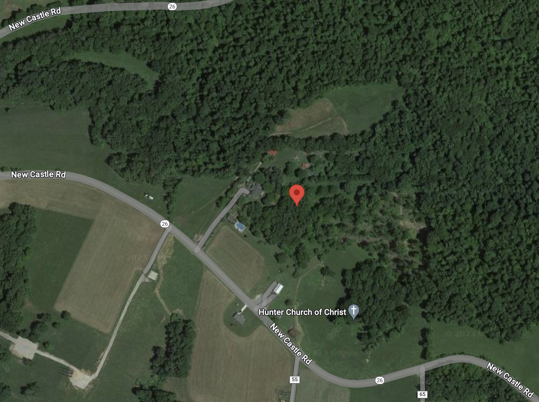
Tract 1: Situated in the County of Belmont, State of Ohio, and Township of Wayne and known as and being: Situated in the Northeast Quarter of the Southeast Quarter and the Southeast Quarter of the Southeast Quarter of Section 29, Township 6, Range 5, Wayne Township. Beginning for the same at an iron pin at a stump in fence from which the Northeast corner of the Southeast Quarter of Section 29 bears S. 87 degrees 30' 24" E. 355.66 feet N. 2 degrees 29' 36" E. 970.87 feet and the bearing on section line being N. 2 degrees 29' 36" E.; thence from said place of beginning S. 14 degrees 05' 27" W. 527.42 feet to an iron pin; thence S. 54 degrees 16' 00" W. 261.90 feet to iron pin at fence post; thence with fence N. 62 degrees 34' W. 64.83 feet to a wild cherry tree in fence; thence with fence N. 50 degrees 18' 18" W. 413.83 feet to a stake in fence; thence S. 35 degrees 53' 26" W. 204.92 feet to center of State Route No. 26; thence in road N. 44 degrees 24' 54" W. 50.72 feet to property line; thence with property line N. 35 degrees 53' 26" E. 199.70 feet to a fence post corner; thence continuing N. 35 degrees 53' 26" E. 444.34 feet to an iron pin at fence corner; thence with fence S. 87 degrees 30' 24" E. 495.34 feet to place of beginning, containing 8.56 acres. Surveyed by Gerald Sims, Surveyor, in November, 1973. Tract 2: Situated in the County of Belmont, State of Ohio, Township of Wayne and known as and being: Situated in the Northeast Quarter of the Southeast Quarter and the Southeast Quarter of the Southeast Quarter of Section 29, Township 6, Range 5. Beginning for the same at an iron pin at Grantor’s Northeast corner from which the Northeast corner of the Southeast Quarter of Section 29 bears on Section Line N. 2 degrees 29’ 36” E. 970.87 feet; thence from said place of beginning S. 2 degrees 29’ 36” W. 766.32 feet to an iron pin in fence at a 36” ash tree; thence N. 59 degrees 06’ 16” W. 524.87 feet to the Southeast corner of Grantees 8.56 acre tract; thence with east line of said tract N. 14 degrees 05’ 27” E. 527.42 feet to an iron pin at dead stump at Northeast corner of Grantees’ 8.56 acre tract; thence S. 87 degrees 30’ 24” E. 355.6 feet to place of beginning, containing 6.17 acres, more or less. Surveyed by Gerald W. Sims, R.S. 3747, in May, 1979. Excepting the Number Eight or Pittsburgh Vein of Coal and mining rights heretofore sold and conveyed.
Location
Foreclosure Details
Conditions of Sale
Auction By

