Property Details
Property Description
Subject property is a 4 BR / 1.00 BA w/ , containing 960 Sq Ft +/- built in 1951. Parcel number: 171416041000. Minimum Bid $ . All auction end Wednesdays at 1PM. 5% buyer's premium will apply over and above high bid. Please read terms and conditions for details related to purchasing foreclosure property. Interior showings are not available. To earn a commission, Buyer referrals must be made to Auctioneer before prospective buyers make any contact with Auctioneer or register for bidding. Use link: https://www.gryphonusa.com/broker-acknowledgement-form/ This is a foreclosure situation. Property being offered by Private Selling Officer per the authorities granted in Ohio Revised Code 2329.152 . Information available has come from public sources and is believed to be accurate but is not guaranteed. Buyers should conduct their own due diligence before bidding. List Agent has not physically viewed the property. Due to the nature of the sale, interior inspections are not allowed. Cash sale only. The auction is subject to postponement and cancellation. No financing.
Legal Description
Situated in the County of Ross in the State of Ohio and in the Township of Huntington, and bounded and described as follows: Beginning at an iron pin in the center of County Road No. 165, known as Denver road, said point being the Southeast corner of a 4.95 acre tract of land conveyed to Jacob D. and Lillian V. Hall, Volume 381, page 535 in the Ross County, Ohio deed records; thence with the center of Denver road S 37-30' E, 61.91 feet to an iron pin; thence with a 9 left curve, the chord of which bears S 42-17' E, 106.20 feet to an iron pin; thence leaving Denver road, S 68-58' W, 348.74 feet to an iron pin; thence S 30-51' W, 378.65 feet to an iron pin in the east right of way, of the D.T.&.I. R.R.; Thence with the D.T.& I. R.R. N 24-14' W, 413.82 feet to an iron pin in the south line of Hall's 4.95 acre tract, N 70-56' E, 614.07 feet to the place of beginning, containing 3.29 acres of land, more or less, subject to legal highways and utility easements of record, bearings are calculated. The herein described 3.29 acre tract of land being all of the Fifth parcel, First Tract of 2.11 acres, and part of the Fifth Parcel, Second Tract of 7.3 acres of land conveyed to Hilda Wolfer and recorded in volume 420, page 42 in the Ross County, Ohio Deed records.
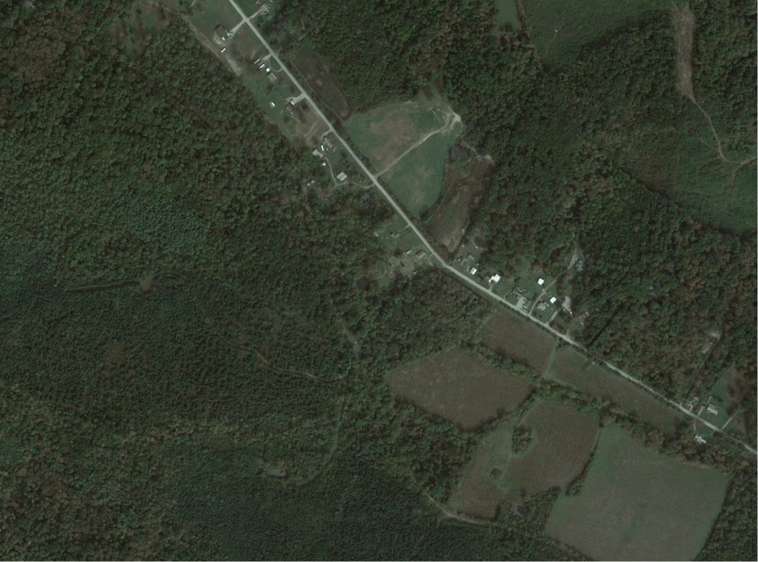
Location
Foreclosure Details
Click the link to review the Conditions of Sale for this auction.
Conditions of SaleAuction By
