Property Details
Property Description
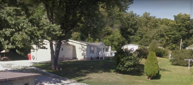
Auction information3 BR / 2 BA SFR w/ 1 Car Garage containing 1,352 Sq Ft +/- built in 2001. Appraised $57,000. Property must sell for 2/3 of appraised value. --- Online Only Offering. 5% buyers premium will apply over and above high bid. Please read terms and conditions for details related to purchasing foreclosure property. Brokers welcome. Contact PSO for broker registration and co-op info. Interior showings are not available.*** Info available has come from public sources. Auctioneer has not been granted access to the property.
Legal Description
Situated in the State of Ohio, County of Carroll, and the Village of Minerva. Being a part of the Northeast Quarter of Section 2, Township 16 of Range 6 and being a part of a 1.00 acre tract of land (Tract I) and part of a 0.695 acre tract or land (Tract 3) as conveyed to Earl F. Breese III and Allison H. Breese by Warranty Deed as recorded in Volume 236, Page 361, and being more particularly described as follows: Beginning at a 5/8" iron bar found on the Southwest corner of the Lot No.5 of Kidder Allotment No. 1 as recorded in Plat Book 3, Page 192; Thence N 58 deg. 23' 00" E along the South line of said Kidder Allotment, a distance of 158.676 feet to a 5/8" iron bar found on the Northeast corner or said 0.695 acre tract; Thence S 40 deg. 00' 00" E along the West line of the lands now or formerly owned by Thomas and Lavern Vasilliu (221/08), a distance of 166.67 feet to a 5/8" iron bar found; Thence S 50 deg. 00' 00" W along the North line of the lands now or formerly owned by C. & S. Swain (262/3 ), a distance of 110.00 feet to a 5/8" iron bar found, said point being the true place of beginning: Thence S 40 deg. 00' 00" E along the West line of said Swain lands, a distance of 70.00 feet to a 5/8" iron bar found on the North line of 12' alley in Elizabeth Ducomb's addition to Minerva (Plat Book 1, Page 146); Thence S 50 deg. 00' 00" W along the North line of said alley, a distance of 207.21 feet to 3/4" iron pipe found; Thence N 40 deg. 00' 00" W along the West line of the 1.00 acre tract, a distance of 190 feet to a 5/8" iron bar set: Thence N 73 deg. 28' 40" E, a distance of 225.92 feet to a 5/8" iron bar set: Thence S 40 deg. 00' 00" E, a distance of 30.00 feet to The true Place of Beginning and containing 0.690 acres of land as surveyed by David J. Bodo, Ohio Registered Surveyor Number 6321 in August, 1999, but subject to all legal highways and any easements, restrictions, or reservations of record. The basis of bearing for this survey was the South line of Breese tract and the bearing of S 50 deg. 00' 00" W was taken from the Breese Deed and recorded in Deed Volume 236, Page 361.
Location
Foreclosure Details
Conditions of Sale
Auction By

