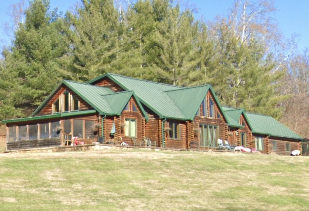
Property Details
Legal Description
Situated in the Village of Coal Grove, County of Lawrence and State of Ohio, to-wit: Beginning at a point in the centerline of the right of way for State Route 243 at Station 28.00; thence North 16 deg. 53 min. East, passing a set iron pin in an old fence line at 27.30 feet, crossing the North edge of the aforesaid right of way at 40 feet to a set iron pin at a total distance of 320.83 feet; thence following an old fence line, South 79 deg. 00 min. East, 165.18 feet to a fence post corner to a tract of land owned by Clara Sites and shown as Tract 2 in Vol. 409, P. 459 of the Lawrence County Deed Records; thence following an old fence line, South 83 deg. 32 min. East, 106.22 feet to a set iron pin on the West edge of a 30 foot right of way; thence South 84 deg. 12 min. East, 38.66 feet to a set iron pin at the most Northeasterly corner of this tract and at the East edge of the 30 foot right of way; thence South 44 deg. 48 min. West, 104.77 feet to a set iron pin; thence South 16 deg. 40 min West, 258.26 feet to a point in the centerline of the right of way for State Route 243; thence along the chord of a curve to the right having a radius of 953.27 feet and a bearing of North 76 deg. 07 min. West, and a chord a distance of 259.31 feet to the point of beginning, and containing 2.00 acres. The above described tract is intended to be one and the same as the 2 1/6 acres and 1/20 of an acre tracts described in Tract 2, Vol. 409, P. 459, of the Lawrence County Deed Records. Reserving and Excepting, a 30 foot right of way across the aforesaid 2.00 acre tract, described as follows: Beginning at the most Southeasterly corner of the aforesaid 2.00 acre tract; thence North 16 deg. 40 min. East, 258.26 feet to a set iron pin; thence North 44 deg. 48 min. East, 104.77 feet to a set iron pin at the most Northeasterly corner of said 2.00 acre tract; thence North 84 deg. 12 min. West, 38.66 feet to a set iron pin; thence South 44 deg. 48 min. West, 104.77 feet to a set iron pin; thence South 16 deg. 40 min. West, 258.26 feet to a point in the center line of the right of way for State Route 243; thence South 76 deg. 07 min. East, 30.00 feet to the point of beginning.
Location
Foreclosure Details
Conditions of Sale
Auction By

