Property Details
Property Description
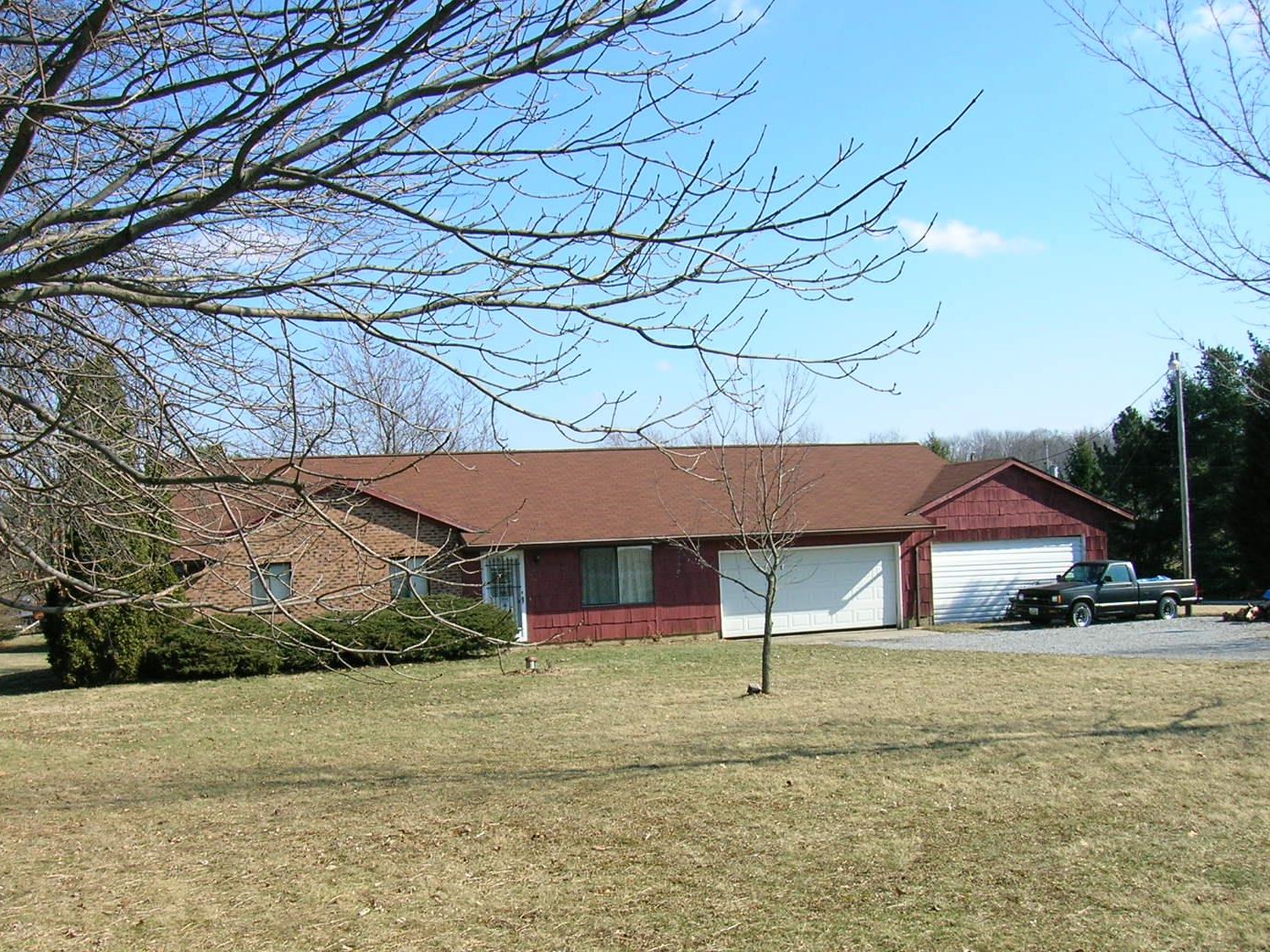
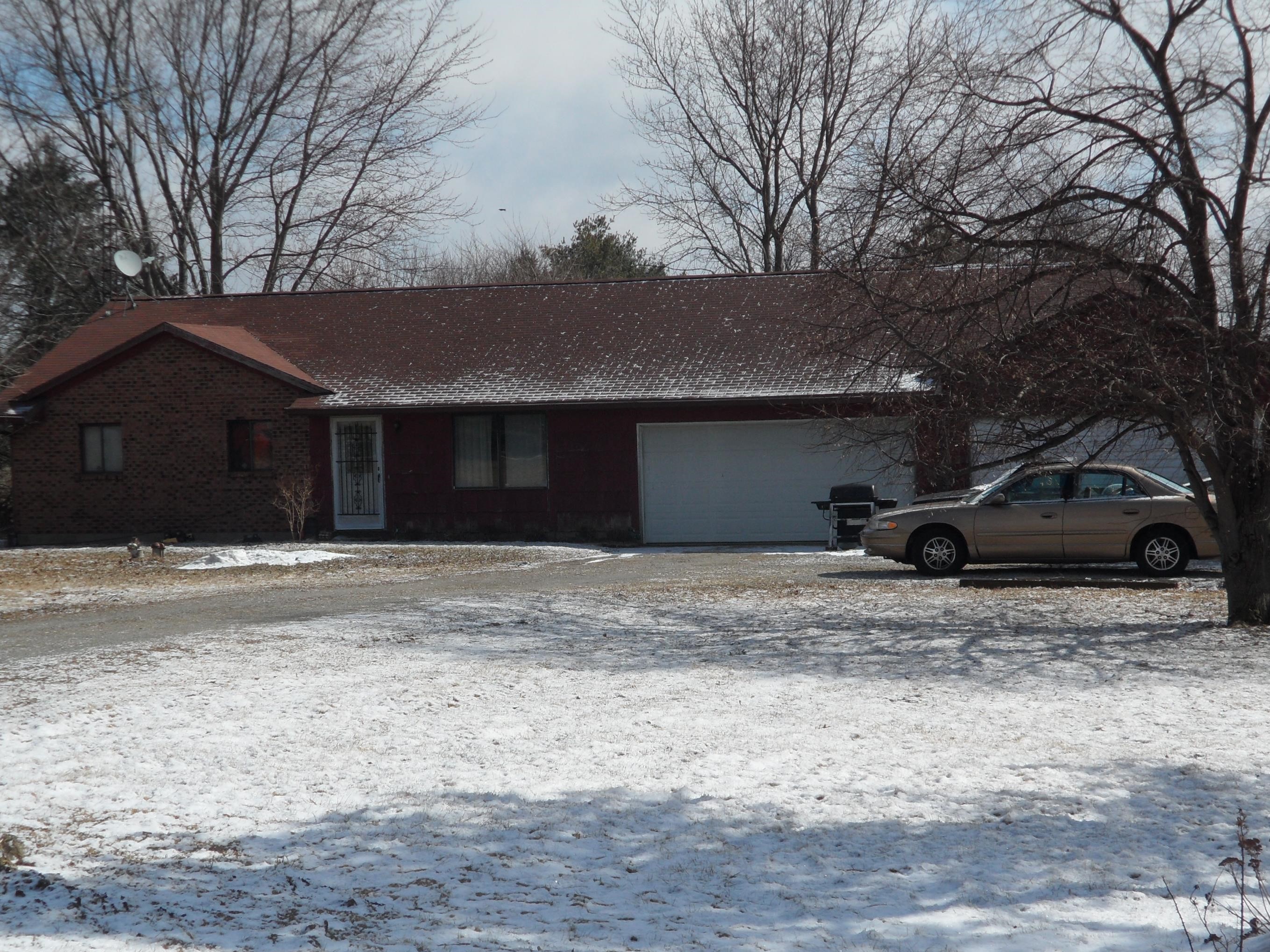
3 BR / 2 BA Single Family Home w/ 4+ Car Garage containing 1,282 Sq Ft +/- built in 1978. Appraised $ 85,000.00 2/3 Min bid $ 56,666.67. Property must sell for 2/3 of appraised value. --- Online Only Offering with bids ending mid-day. See auction details for exact time. 5% buyers premium will apply over and above high bid. Please read terms and conditions for details related to purchasing foreclosure property. Interior showings are not available. *** Info available has come from public sources. Auctioneer has not been granted access to the to the property.
Legal Description
Situated in the County of Champaign, Township of Mad River, and State of Ohio, and being further described as follows: Being Lot #2 of Graham Heights Subdivision, Situated in Mad River Township and recorded in Plat Book E, Page 83. Save and Except the following: Being Part of Lot Number 2 (DB 226-116) in the Graham Heights Subdivision (Cabinet 1, Slide 759-760 in the Champaign County Recorder's Plat Records) in the Northeast Quarter of Section 34, Town 4, Range 11, B.T.M.R.S., Mad River Township, Champaign County, Ohio and more particularly described as follows: Beginning, for reference, at railroad spike found marking the intersection of the centerlines of Runkle Road (CH 17) and Kite Road (CH 22); thence South 7 degrees 19 minutes 30 Seconds West (Ref. Brg. OR 77-368) 1050.93 feet to a Pk nail found in the centerline of CH 22; thence South 83 degrees 10 minutes 15 seconds East 431.09 feet to an iron pin set in the South Line of said Lot Number 2 at the principal point of beginning for the tract hereinafter described, passing an iron pin found at 30.00 marking the Southwest corner of said Lot Number 2; thence North 7 degrees 19 minutes 30 seconds East 156.00 feet to an iron pin set in the North line of said Lot Number 2; thence South 83 degrees 10 minutes 15 Seconds East 69.00 feet to a 5/8 inch iron pin found marking the Northeast corner of said Lot Number 2; Thence South 7 degrees 41 minutes 15 seconds West 156.01 feet to a 5/8 inch iron pin found marking the Southeast corner of said Lot Number 2; Thence North 83 degrees 10 minutes 15 seconds West 68.00 feet to the principal point of beginning. Containing 0.245 acres, more or less, and subject to all easements of record or use. This 0.245 acre tract is to be attached to Gene Allen Ruch's Adjoining 2.767 acre tract (OR 77-368), survey, description and Plat by Wallace Lynn Geuy, Registered Surveyor No. S-5105, dated August 7, 1998.
Location
Foreclosure Details
Conditions of Sale
Auction By


