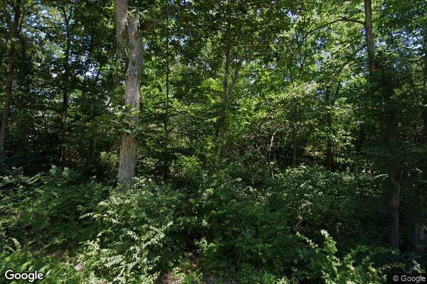
Property Details
Legal Description
A tract of land, being part of the North Half of the Southwest Quarter of Section 25, Township 7 North, Range 8 West of the Third Principal Meridian, Macoupin County, Illinois, more particularly described as follows: Commencing at an iron rod marking the northwest corner of said Southwest Quarter of Section 25; thence South 00 degrees 00 minutes 00 seconds West (all bearings in this description are assumed), along the west line of said Section 25, a distance of 1,457.67 feet to an iron rod marking the Point of Beginning of the tract of land herein described; thence South 88 degrees 50 minutes 23 seconds East, parallel to the north line of said Southwest Quarter of Section 25, a distance of 470.00 feet to an iron rod; thence South 00 degrees 00 minutes 00 seconds West, parallel to said west line of Section 25, a distance of 463.50 feet to an iron rod; thence North 88 degrees 50 minutes 23 seconds West, parallel to said north line of the Southwest Quarter of Section 25, a distance of 470.00 feet to an iron rod on said west line of Section 25; thence North 00 degrees 00 minutes 00 seconds East, along said west line of Section 25, a distance of 463.50 feet to the Point of Beginning containing 5.00 acres, more or less, as shown on the Plat of Survey by Hutson Surveying & Engineering, Inc., signed and dated June 29, 2005.
