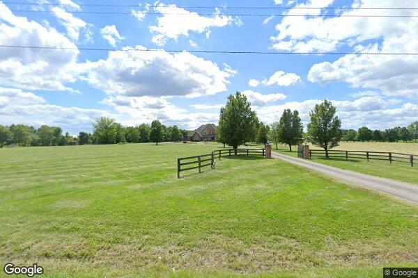
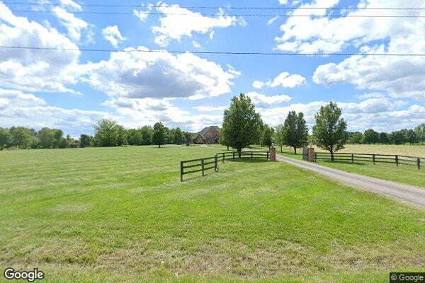
Property Details
Legal Description
Parcel 1: A tract of land being part of the Southeast Quarter of Section 22, Township 6 North, Range 8 West of the Third Principal Meridian, Madison County, Illinois, said tract being more particularly described as follows: Commencing at an old stone marking the Southeast corner of the Northeast Quarter of the Southwest Quarter of said Section 22; thence South 83 degrees 48 minutes 40 seconds East along the South line of said Northeast Quarter of the Southwest Quarter of Section 22 a distance of 91.10 feet to an iron rod; thence North 00 degrees 15 minutes 26 seconds West a distance of 53.00 feet to an iron rod marking the Southwest corner of property conveyed to Norman T. and Darlene B. Schumacher by deed recorded in Deed Book 4095 Page 1300; thence North 85 degrees 50 minutes 15 seconds East along the South line of said property conveyed to Norman T. and Darlene B. Schumacher a distance of 597.76 feet to an iron rod marking the point of beginning of the tract of land herein described; thence North 04 degrees 26 minutes 22 seconds West perpendicular to said South line of property conveyed to Norman T. and Darlene B. Schumacher a distance of 297.90 feet to an iron rod; thence North 85 degrees 50 minutes 15 seconds East parallel to said South line of property conveyed to Norman T. and Darlene B. Schumacher a distance of 292.30 feet to an iron rod; thence South 04 degrees 26 minutes 22 seconds East perpendicular to said South line of property conveyed to Norman T. and Darlene B. Schumacher a distance of 52.92 feet to an iron rod; thence North 63 degrees 46 minutes 09 seconds East a distance of 16.02 feet to an iron rod marking a point of curvature; thence 84.95 feet along a tangent curve to the right having a radius of 167.27 feet to an iron rod marking a point of tangency; thence South 87 degrees 08 minutes 03 seconds East a distance of 23.40 feet to an iron rod marking a point of curvature; thence 37.40 feet along a tangent curve to the left having a radius of 140.00 feet to an iron rod marking a point of tangency; thence North 77 degrees 33 minutes 29 seconds East a distance of 69.05 feet to an iron rod on the West line of Illinois Route 159 (S.B.I. Route 112); thence 20,00 feet along a non- tangent curve to the right having a radius of 4052.60 feet to an iron rod, said curve also being the West line of said Illinois Route 159 (S.B.I. Route 112); thence South 77 degrees 33 minutes 29 seconds West a distance of 69.05 feet to an iron rod marking a point of curvature; thence 42.75 feet along a curve to the right having a radius of 160.00 feet to an iron rod marking a point of tangency; thence North 87 degrees 08 minutes 03 seconds West a distance of 23.40 feet to an iron rod marking a point of curvature; thence 74.79 feet along a tangent curve to the left having a radius of 147.27 feet to an iron rod marking a point of tangency; thence South 63 degrees 46 minutes 09 seconds West a distance of 24.02 feet to an iron rod; thence South 04 degrees 26 minutes 22 seconds East perpendicular to said South line of property conveyed to Norman T. and Darlene B. Schumacher a distance of 223.44 feet to an iron rod on said South line of property conveyed to Norman T. and Darlene B. Schumacher; thence South 85 degrees 50 minutes 15 seconds West along said South line of property conveyed to Norman T, and Darlene B. Schumacher a distance of 292.30 feet to the point of beginning, (except coal and other mineral rights conveyed, excepted or reserved in prior conveyances) in Madison County, Illinois. Parcel 2: A tract of land being a part of the Southeast Quarter of Section 22, Township 6 North, Range 8 West of the Third Principal Meridian, Madison County, Illinois more particularly described as follows: Commencing at an old stone marking the Southeast corner of the Northeast Quarter of the Southwest Quarter of said Section 22; thence South 83 degrees 48 minutes 40 seconds East along the South line of said Northeast Quarter of the Southwest Quarter of Section 22 a distance of 91.10 feet to an iron rod; thence North 00 degrees 15 minutes 26 seconds West a distance of 53.00 feet to an iron rod marking the Southwest comer of property conveyed to Norman T. and Darlene B. Schumacher by deed recorded in Deed Book 4095 Page 1300; thence North 85 degrees 50 minutes 15 seconds East along the South line of said property conveyed to Norman T. and Darlene B. Schumacher a distance of 890.06 feet to an iron rod marking the point of beginning of the tract of land herein described; thence North 04 degrees 26 minutes 22 seconds Wast perpendicular to said South line of property conveyed to Norman T. and Darlene B. Schumacher a distance of 223.44 feet to an iron rod; thence North 63 degrees 46 minutes 09 seconds East a distance of 24.02 feet to an iron rod marking a point of curvature; thence 74.79 feet along a tangent curve to the right having a radius of 147.27 feet to an iron rod marking a point of tangency; thence South 87 degrees 08 minutes 03 seconds East a distance of 23.40 feet to an iron rod marking a point of curvature; thence 42.75 feet along a curve to the left having a radius of 160.00 feet to an iron rod marking the point of tangency; thence North 77 degrees 33 minutes 29 seconds East a distance of 69.05 feet to an iron rod on the West line of Illinois Route 159 (S.B.I. Route 112); thence 251.28 feet along a non-tangent curve to the right having a radius of 4,052.60 feet to an iron rod marking the Southeast corner of said property conveyed to Norman T. and Darlene B. Schumacher; said curve also being the West line of said Illinois Route 159 (S.B.I. Route 112); thence South 85 degrees 50 minutes 15 seconds West along said South line of property conveyed to Norman T. and Darlene B. Schumacher a distance of 256.54 feet to the point of beginning, (except coal and other mineral rights conveyed, excepted or reserved in prior conveyances) in Madison County, Illinois. Commonly known as: 8119 N. State Route 159, Moro, IL, 62067

