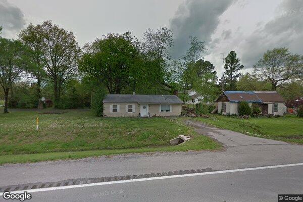
Property Details
Legal Description
Tract 1: Lots 7, 8, 9, 10, and 11 in Block 1 of Summers' Heights Addition to the City of West Frankfort. Situated in Franklin County, Illinois. EXCEPT all coal, oil, gas, and other minerals. Tract 2: Lots 12, 13, 14, and 15 in Block 1 of Summers' Heights, being a sub-division of the Southwest 1/4 of the Southeast 1/4 of Section Twenty-Five, Township Seven South, Range Two East of the Third Principal Meridian. Situated in Franklin County, Illinois. EXCEPT all coal, oil, gas, and other minerals. LESS AND EXCEPT: Being a part of the Southwest Quarter of the Southeast Quarter of Section 25, Township 7 South, Range 2 East of the Third Principal Meridian, Franklin County, State of Illinois, being more particularly described as follows: Commencing at the Northeast Corner of the Southwest Quarter of the Southeast Quarter of said Section 25, located 39.37 feet Westerly of the centerline of FAS 2887 (ROUTE 37) at Station 390+15.71, thence South 89 degrees 50 minutes 02 seconds East along said Quarter Quarter Section line a distance of 9.52 feet to a point on the existing Westerly right of way line of said Route 37 located 30.00 feet Westerly of said centerline at Station 390+14.09; thence Southerly along the West right of way line a non-tangential curve left, concentric with said centerline, having a radius of 2945.01 feet, an arc distance of 160.50 feet, the chord of said curve bears South 08 degrees 32 minutes 44 seconds West, to a point on the existing Westerly right of way line of said Route 37 located 30.00 feet Westerly of said Centerline at Station 391+72.98, said point being the Point of Beginning of this description; thence Southerly along the West right of way line a non-tangential curve left, concentric with said centerline, having a radius of 2945.01 feet, and arc distance of 154.97 feet, the chord of said curve bears South 05 degrees 28 minutes 29 seconds West, to a point on the existing Westerly right of way line of said Route 37 located 30.00 feet Westerly of said centerline at Station 393+26.38; thence South 89 degrees 04 minutes 51 seconds West a distance of 20.07 feet to a point on South property line of said parcel located 50.00 feet Westerly of said centerline at Station 393+28.06; thence Northerly along a non-tangential curve right, concentric with said centerline, having a radius of 2965.01 feet, an arc distance of 154.95 feet, the chord of said curve bears North 05 degrees 25 minutes 50 seconds East, to a point on the North property line of said parcel located 50.00 feet Westerly of said centerline at Station 391+75.71; thence North 89 degrees 04 minutes 30 seconds East along the North property line a distance of 20.19 feet to the point of beginning.
Location
Foreclosure Details
Click the link to review the Conditions of Sale for this auction.
Conditions of SaleAuction By
